As winter officially settles in across the northern United States, residents are bracing for the advent of snow and ice that is set to hit various regions in the coming days. According to forecasts from the National Weather Service, this winter storm is expected to unfold, bringing significant accumulations of snow and ice that could impact daily life and travel for millions.
The storm is primarily projected to affect states such as Minnesota, Wisconsin, Michigan, and further into the Northeast, including New York and Pennsylvania. Meteorologists are closely monitoring the storm’s trajectory and intensity, with indications that it may start later this week. The pattern suggests a mix of rain, snow, and sleet, depending on the geographical location, temperatures, and elevation.
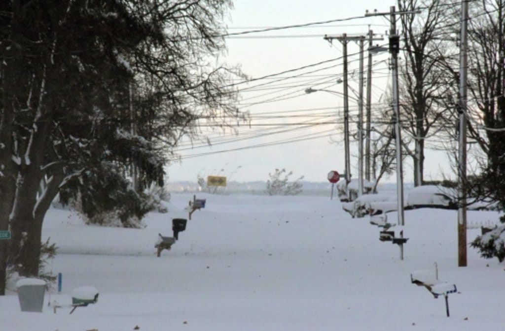
In the Midwest, the storm is anticipated to start with light rain on the outskirts; however, as temperatures plummet overnight, a rapid transition to sleet and heavy snowfall is expected. Areas that are predominantly flat might see lesser amounts of snow compared to regions that are hilly or mountainous, which could act as snow traps. For residents in Illinois, Indiana, and Ohio, the threat of ice accumulation poses exceptional risks due to fallen branches and power lines, essentially leading to isolated outages.
As the system pushes eastward, states like Michigan and parts of Wisconsin may experience blizzard-like conditions with visibility reduced to less than a quarter-mile at times. This inclement weather could lead local authorities to issue travel advisories. Drivers are advised to be vigilant, monitor weather updates, and prepare for slower travel times on highways and interstates. The threat of whiteouts may also call for residents to stay home unless absolutely necessary.
Further along the storm’s path, as it approaches the Northeast, cities including Buffalo, Syracuse, Albany, and even parts of New England will likely see substantial snow totals. These areas are preparing for hazardous travel conditions, with some regions anticipating snow accumulations of up to one foot or more, depending on the final track of the storm front.
Emergency services across affected areas are mobilizing in anticipation of the incoming weather. Salt and sand trucks are being deployed to treat roadways, and local governments are gearing up to monitor the weather closely for any rapid changes. Schools and businesses may also explore the option to close or delay openings based on how severe the snowfall and icy conditions become.
Public safety officials encourage residents to prepare for the storm proactively. Suggested preparations include stocking up on essential supplies such as food, water, and medications, and ensuring that vehicles are ready for winter weather, complete with antifreeze, a full tank of gas, and emergency kits containing blankets and non-perishable snacks.
Additionally, individuals living in colder regions are reminded to take precautions to avoid risks related to frostbite and hypothermia, especially when venturing outdoors. Appropriate clothing, including insulated coats, gloves, scarves, and hats, can make a vital difference.
As the winter weather event approaches, forecasting models show that the snow and ice are expected to linger throughout the weekend. As temperatures rise early next week, potential concerns for flooding due to melting snow and ice accumulation may arise, particularly in urban areas and regions where drainage is limited.
Local emergency management agencies are advising individuals to stay tuned to updates from the National Weather Service and local news channels for the latest information on the storm’s progression, as the situation is subject to change. This is especially critical for those who rely on travel during this storm period.
In summary, the upcoming winter storm is poised to bring significant snowfall and ice accumulation to northern states, with the potential for dangerous travel and power outages. Residents are urged to remain informed, prepared, and cautious as winter weather envelops the region.